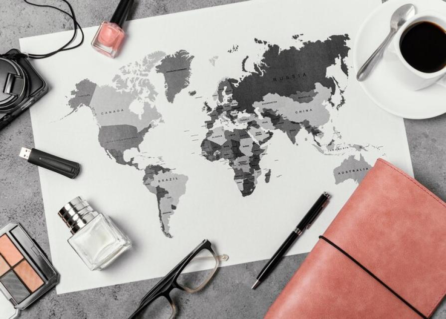
When we were in school, we saw a classic map of the world every day and could memorize it. A poster with continents, islands, seas and oceans depicted on it formed in the creatures of people an approximate picture of what our planet would look like if it were transferred from the ball to the plane. However, the canvas of the world is only an approximate representation of a spherical planet, and many objects on it are strongly distorted and printed conditionally.
Looking at the usual map of the world, people involuntarily form a stereotype in their heads that the most "important" states of the planet are located in the central part of the canvas, and countries that do not play the main role in the political arena are located on the outskirts.
Despite the fact that the world is the same and the same, many countries of the world have their own map of the planet. When compiling these maps, three conditions are guided, on which all the differences between the canvases depend - the centering relative to the South and the North, the centering in the West and the East, as well as the choice of the projection method.
Russian Map

Our traditional map is centered on the western and eastern parts of the world. The central point is Moscow, Australia and North from South America are located on the periphery. The Pacific Ocean occupies both ends of the map, which is why it is not a single reservoir in the eyes of Russians.
Map of the United States

The central point vertically here is the United States itself. On this map, America represents an island in the center of the world, washed by the Atlantic and Pacific Oceans from the west and east, respectively. The equator here has been moved to the lower part of the map, which makes Eurasia and North America look several times larger than Australia, South America and Africa. Russia, China and India in this map are divided into 2 parts, appearing on the canvas from the West and from the East, which prevents the perception of these states as single territories.
Australian Map
Since the world has formed a stereotype that the object above will dominate those located below, people consider the northern countries more "important". Australians decided to get rid of this stereotype and began to issue maps where the vertical axis in the center of the map is drawn through Australia. The local map is inverted 180 degrees, so Australia is above all. The continent is located in the central part of the world and is washed by the Southern, Indian and Pacific Oceans. Antarctica here took the highest position, although in many maps it is below.
Map of Chile

Like the Australian one, the Chilean card is inverted and puts its homeland in a dominant position. It was carried out on behalf of the Military Geographical Institute of Chile and introduced into the textbooks of local schoolchildren and students. In the central part of the map is the Pacific Ocean, because Chile considers itself a state that is the main business center in the local waters. Europe and Africa are located here at the edges of the map, considered the periphery of the world.
European Maps
Here, the central vertical line passes through London. America and Australia on European maps are on the periphery, and the Pacific Ocean is also divided into two sections. As in the map of the United States, the equator here is shifted to the south, which shows the northern continents larger than the southern ones - Africa, South America and Australia, although in reality the difference in size is not so large.
Map of China

On the Chinese map, the Celestial Empire is located on the West Coast of the Pacific Ocean, which is the central location here. Europe and Africa are on the edges because they have no access to the central ocean on the map.
South African map
Another inverted map is printed in the textbooks of children in the Republic of South Africa. The southern part of Africa, America and Australia are located at the top of the canvas, which gives them a dominant position. South Africa on the map is a peninsula washed on both sides by the Atlantic and Indian Oceans. The Pacific Ocean, Russia and Canada remained on the periphery.


